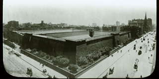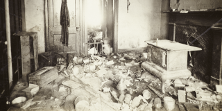
Photograph by the New York City Tenement House Department
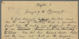
Page from Jacob Riis’s manuscript draft of How the Other Half Lives
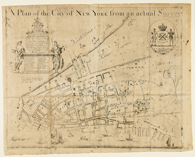
Thomas Johnston (1708–1767) and Charles Leroux (1856/7–1889), engravers
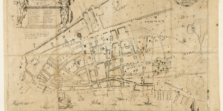
James Lyne, surveyor
A plan of the city of New York from an actual survey / made by Iames Lyne to His Excellency Iohn Montgomerie Esq...
New York: William Bradford, 1731
Rare Book Division
A plan of the city of New York from an actual survey / made by Iames Lyne to His Excellency Iohn Montgomerie Esq...
Known in only three surviving copies, A Plan of the City of New York from an Actual Survey depicts lower Manhattan as it appeared in 1731, the same year that Royal Governor John Montgomerie granted the charter establishing New York City as a municipality. The map is notable for its degree of detail, showing topographic and man-made features that have long since changed or vanished. Broadway, running northward from the Battery, terminates in the vicinity of today’s City Hall Park, while Collect Pond, which was drained in the early 1800s, appears on the far-right margin. The city’s history as New Amsterdam is acknowledged by the presence of several Dutch windmills—most conspicuously in the one forming an integral part of the city seal, seen in the upper right corner.
Currently on View at Stephen A. Schwarzman Building
The New York Public Library believes that this item is in the public domain under the laws of the United States, but did not make a determination as to its copyright status under the copyright laws of other countries. This item may not be in the public domain under the laws of other countries. Though not required, if you want to credit us as the source, please use the following statement, "From The New York Public Library," and provide a link back to the item on our Digital Collections site. Doing so helps us track how our collection is used and helps justify freely releasing even more content in the future.